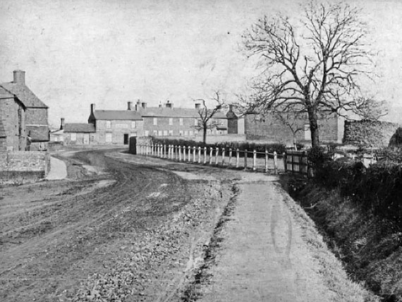
 In the 1800s the High Street was known as Town Street or Thorney Turnpike Road and Crowland Road was Crowland Turnpike Road. The first Turnpikes were authorised in the 1600s, they used tolls to pay for the maintenance and improvement of main roads until they were gradually abolished from the 1870s. Side roads were owned by private landowners, with names such as Rumpley’s Balk Road, Holmes Road, Singleshot Road and Roundhouse Road.
Before turnpikes every adult inhabitant of the parish was obliged to work four consecutive days a year on the roads, providing their own tools, carts and horses. The work was overseen by an unpaid local appointee, the Surveyor of Highways.
By the late 1800’s you had Hodney Row (now Hodney Road, Hodney Row itself doesn’t exist today, its now the entrance to Chancery Lane) and Bowberry Row on what we call Eyebury Road today.
With the growth of the village in the 1970s came the issue of street naming. After much discussion, the Parish Council at the time decided that since the whole Eye had once belonged to Peterborough Abbey it would make sense to call any new streets after ‘monastic houses’ from across the UK. Over 1000 were built so there are plenty of street names left for a growing village, Amesbury, St Augustine’s, Chetwode, Finchale, Leominster, Rievaulx, Roche, Pershore, Tewksbury, Woburn to name but a few. This naming convention continues until this day.
[table id=7 /]